

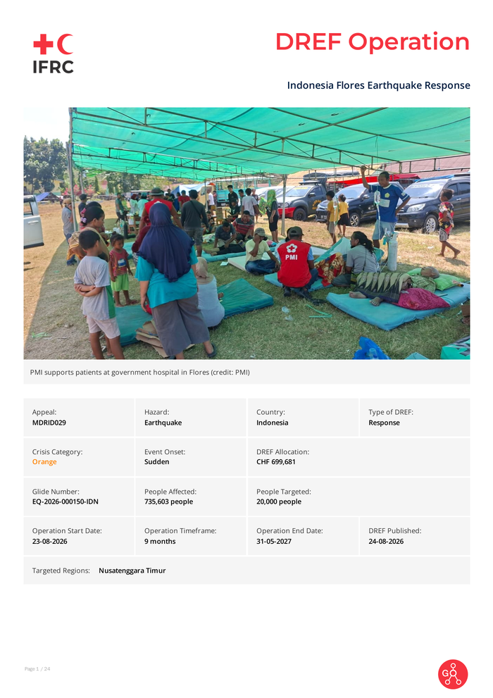
Country: Indonesia Source: International Federation of Red Cross and Red Crescent Societies Please refer to the attached file. Description of the Event Date of event 15-08-2026 What happened, where and when? Magnitude 7. 7 earthquake struck Flores Island in East Nusa Tenggara Province. According to the Meteorology, Climatology and Geophysics Agency (BMKG), the earthquake was centred offshore at 8. 41°S and 121. 39°E, approximately 30 kilometres north-east of Mbay, Nagekeo District, at a depth of 15 kilometres. The earthquake was associated with activity along the Flores Back-Arc Thrust. Following the earthquake, BMKG issued a tsunami warning for several coastal areas. Sea-level changes were observed at several monitoring locations, including approximately 0. 94 metres at Maurole in Ende District. The tsunami warning was lifted at approximately 07: 30 WIB after BMKG confirmed that the threat had ended. However, frequent aftershocks continued to affect the area. As of 16 August 2026 at 15: 00 WIB, BMKG had recorded 995 aftershocks ranging from magnitude 1. 9 to 6. 2, of which 46 were felt by communities. The earthquake affected seven districts across Flores Island: West Manggarai, Manggarai, East Manggarai, Ngada, Nagekeo, Ende and Sikka. Earthquake impacts and population evacuations were also reported in Bima, West Nusa Tenggara Province, and the Selayar Islands, South Sulawesi Province. Landslides, damaged roads and debris continued to restrict access to several affected communities. The Larantuka–Maumere route had reopened, while the Ende–Nagekeo route remained reportedly cut off. Efforts to clear affected roads and establish alternative access routes were ongoing. Electricity and telecommunications services had largely begun to recover, although repairs were still required in several locations. Continued aftershocks were also affecting assessment, evacuation and emergency service delivery.
Indonesia Flores Earthquake Response – DREF Operation (MDRID029)

RELATED ARTICLES